Field Learning
Chart Room
Find mapping resources, hours, course use and equipment advice.
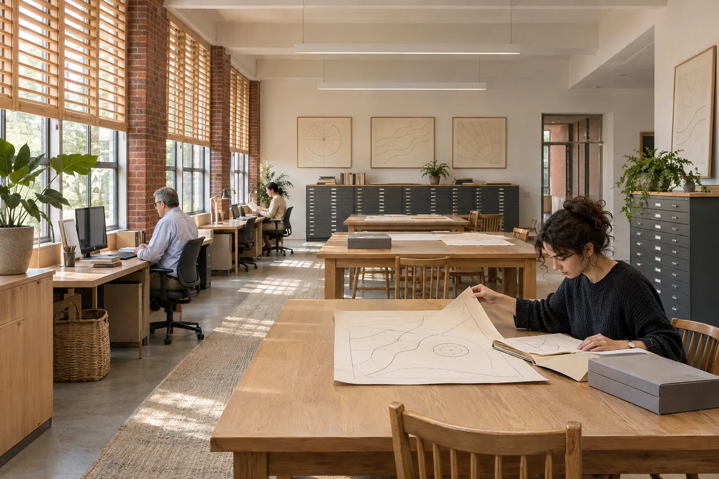
Read a place through sources.
A convincing map begins with a source register: what each layer describes, when it was prepared, the scale it can support and where coverage is missing. Students compare teaching schematics and documentary layers before choosing an interpretation.
Course and study access.
GIS, map reading, spatial sources and student atlas review
Open study workstations are available to enrolled students; equipment checkout has separate desk hours.
Mon–Thu 09:00–20:00; Fri 09:00–17:00 Eastern Time. All published hours use Eastern Time. Recess and closure dates override ordinary hours; a building opening is not an appointment with a particular member of staff.
A source register travels with the map.
Keep a layer date beside the feature it qualifies. An empty area can mean that a source did not cover it; it is not automatically evidence that nothing was present. The map exercise publishes normalized invented shapes and no real geographic coordinates.
Keep a source register, original version, dated working copy and concise correction log. Use a course-approved location for personal or restricted material; public examples use original simulated or appropriately permitted sources. A file name alone is not proof of consent or a complete provenance record.
Ask the responsible person.
Teaches spatial source comparison, map annotation and ways to communicate scale, dates and missing information.
Jonah Kim
Geospatial and Coastal Observation Program Lead
CR 03 · Chart Room
Mon/Thu 11:00–13:00 ET